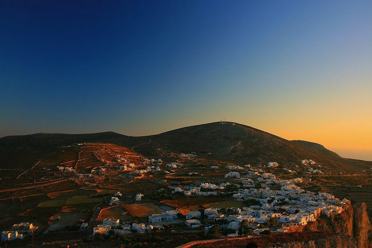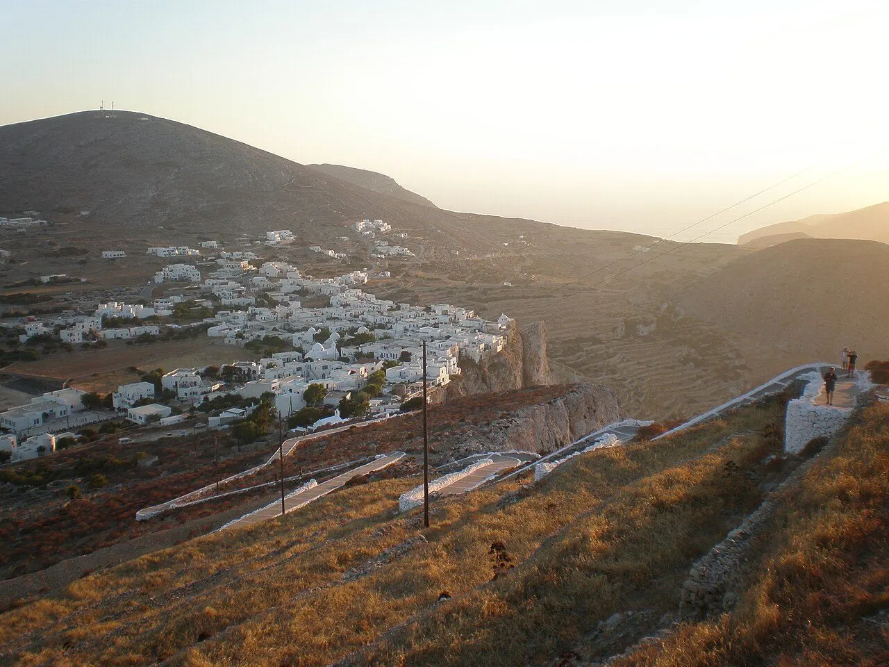
Chora of Folegandros on the edge of its cliff above the terraced hills

Φολέγανδρος · 'Iron Folegandros': a village on the lip of a 200 m cliff, a medieval Kastro still lived in, and farmsteads walled against the wind

Folegandros, the island on the edge of the cliff

Walk the lanes of a medieval Kastro on the edge of a cliff, climb a zig-zag path to a white church built from an ancient temple, swim in coves reached by little boats and eat hand-made matsata in a farming village of stone walls.

The zig-zag path to the church of the Panagia on its rock above Chora

Greetings from Folegandros

Folegandros

The boat left us in a tiny harbour and the bus climbed straight up to a village hanging on the edge of a cliff, with the sea 200 metres below. We walked the lanes of the Kastro, where people still hang their washing on medieval balconies, and climbed the zig-zag path to the white church on its rock at sunset. Today a little boat took us to a cove at the foot of the cliffs with water so clear the boat seemed to float in air. Tonight it is matsata, rakomelo and a violin under the trees of the square.

Wish you were here. x

Hour by hour

A perfect day on Folegandros

The Kastro in the morning cool, a boat to a wild cove, lunch on the sand, a farming village and the Panagia at sunset.

  1. 08:30

    Breakfast on the cliff

    Start in Chora on a terrace hung over the drop, with the open Aegean 200 m below.

    Chora of Folegandros along its clifftop
  2. 09:15

    The lanes of the Kastro

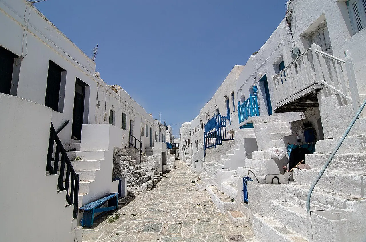
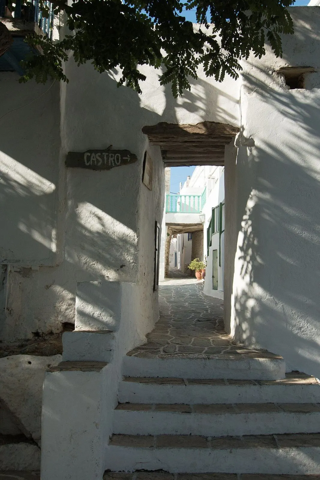
    Walk in through the Paraporti, along the two lanes of the medieval village, under its outside stairs and little balconies, before the sun is high.

    A whitewashed lane in the Kastro of Folegandros
  3. 11:00

    A boat to the south coast

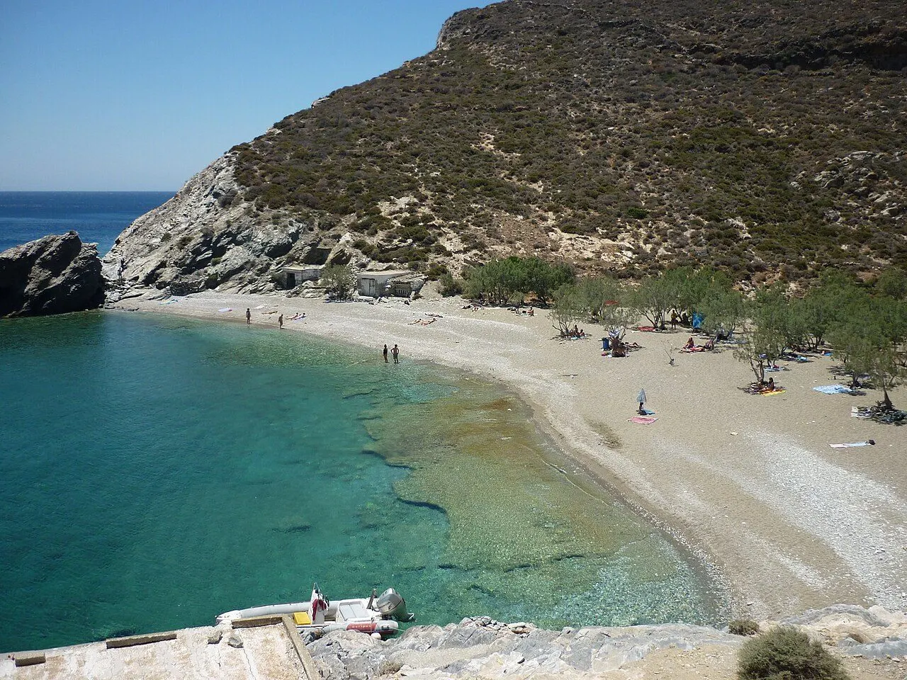
    Drive down to Agali and take the little boat or the cliff path to Agios Nikolaos, a beach of sand and pines with crystal water.

    The beach of Agios Nikolaos
  4. 13:30

    Fish on the sand

    Lunch at a taverna on the beach: fresh local fish, octopus and a Greek salad, with your feet nearly in the sea.

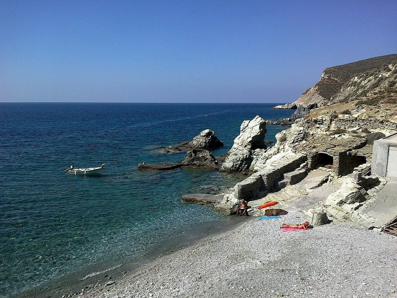
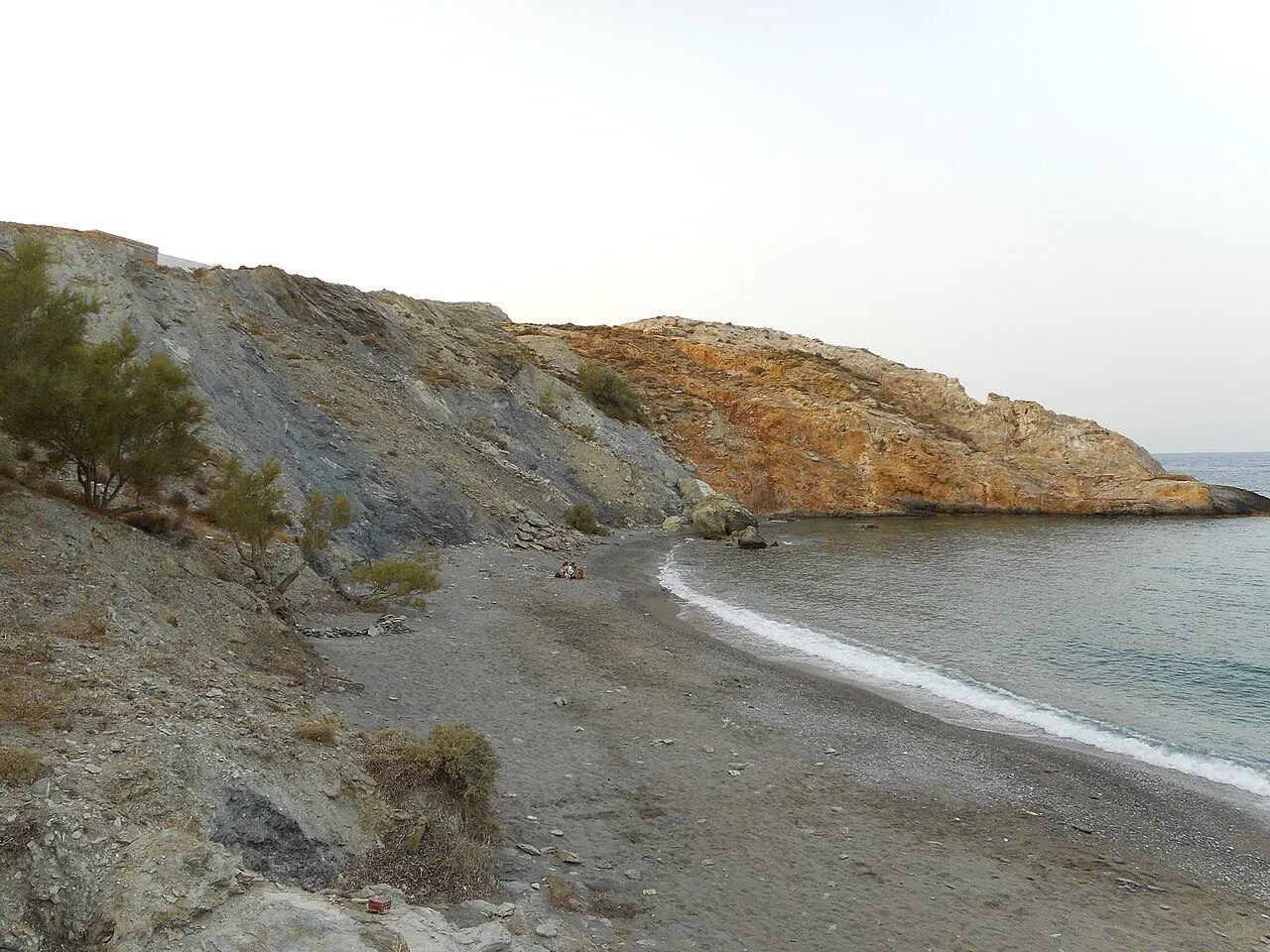
    The cliffs and clear water of the coast near Agali
  5. 16:30

    The farmsteads of Ano Meria

    Drive up to Ano Meria and visit the Ecomuseum, a farmstead with its olive press, oven and threshing floor, among the stone walls and the mules.

    The Ecomuseum farmstead in Ano Meria
  6. 19:00

    Up to the Panagia

    Back in Chora, climb the zig-zag path from Pounta square to the white church on its rock as the houses below turn gold.

    The Panagia on its rock above Chora at dusk
  7. 21:30

    Matsata under the trees

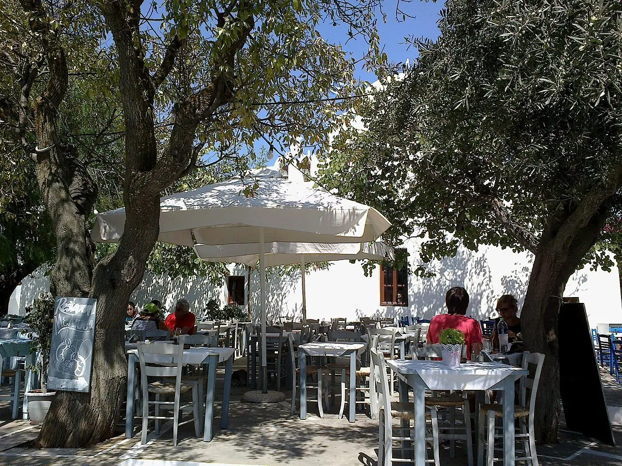
    Dinner on the squares of Chora: matsata with rooster in tomato sauce, then a rakomelo late into the night.

    Tables under the trees of Dounavi square in Chora

Where to stay

Where you'll wake up on Folegandros

All stays

Only on Folegandros

The things you'll tell everyone about

What makes Folegandros different from every other Greek island.

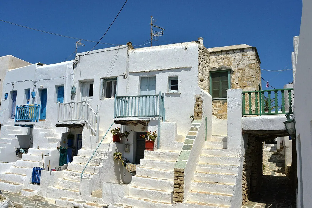
Houses with outside staircases in the Kastro of Folegandros

A Kastro on the lip of the cliff

The medieval Kastro of Chora was built to protect the islanders from pirates and has been lived in without a break ever since. Its north side runs along the edge of a cliff some 200 m above the sea; inside, two lanes, Kato Rua and Mesa Rua, run between whitewashed houses with outside staircases, entered by only two gates, the Lotza and the Paraporti.
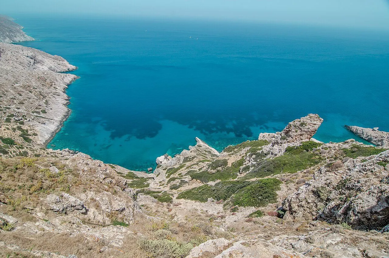
The sheer cliffs and clear water of the Folegandros coast

A cave of ancient names

On the walls and roof of Chrysospilia, a cave 30 m up the north cliffs, some 400 names have been recorded, most of the 4th century BC, written by young men from all over Greece who reached it, it seems, in a coming-of-age rite.
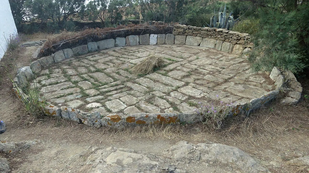
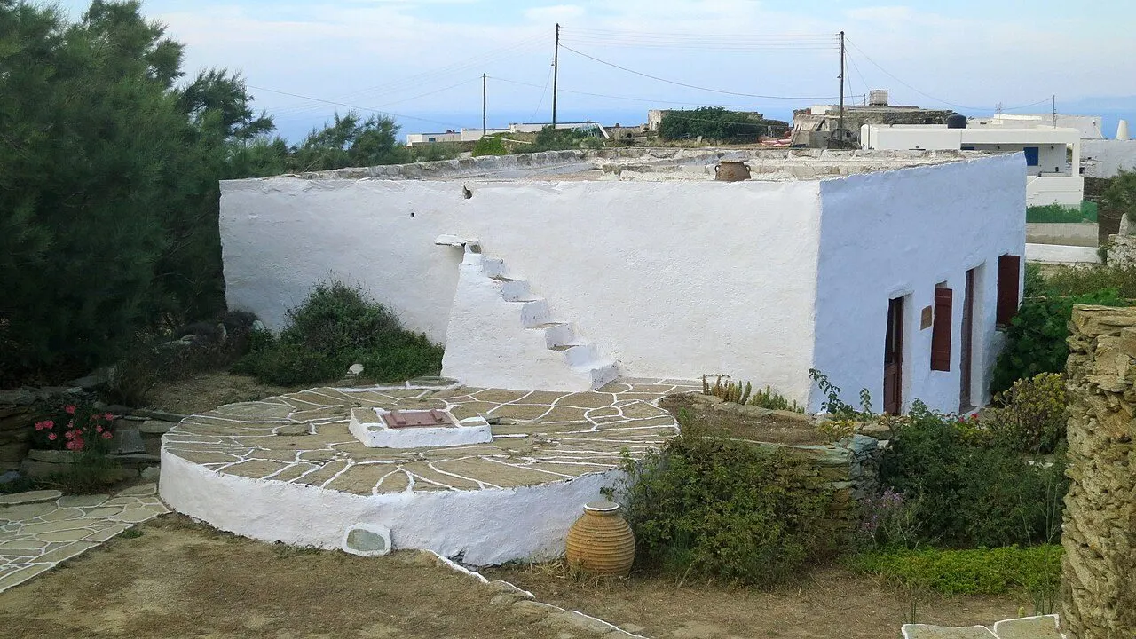
A stone threshing floor at the Ecomuseum in Ano Meria

Farmsteads walled against the wind

Ano Meria is a village of themonies, self-sufficient farmsteads with their own oven, cistern, threshing floor and pens, scattered among dry-stone walls. The north wind blows so hard that the island's trees lean south, so every lemon tree grows inside its own round stone wall.
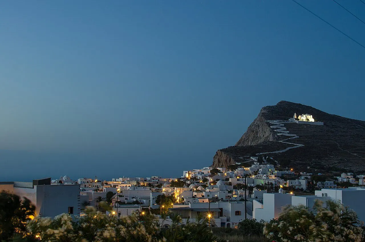
The church of the Panagia on its rock above Chora at dusk

An icon that visits every house

Every Easter the icon of the Panagia leaves its church on the rock and, over three days, is carried on foot to every house on the island: Chora on Sunday, Ano Meria on Monday, and Petousis, Livadi and Karavostasis on Tuesday, where it blesses the boats and, if the sea allows, sails round the bays.
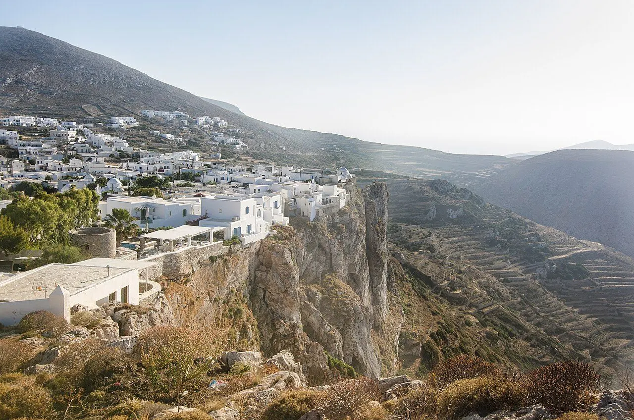
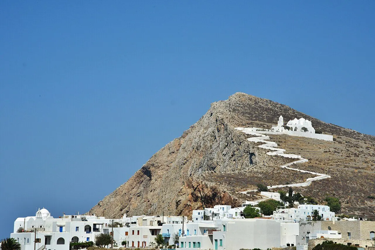
Chora of Folegandros seen from the church of the Panagia

“…iron Pholegandros”

The poet Aratus of Soli, 3rd century BC

Towns & villages

Where you'll fall for Folegandros

All towns & villages
View of Chora, Chora & the cliffs, Folegandros
01
Chora & the cliffs

Chora

A village of squares on the lip of a 200 m cliff, around a medieval Kastro lived in without a break since it was built

Chora, the island's capital, stands about 200 m above the sea on the edge of a sheer cliff on the north-east coast, on the site of the ancient city of Pholegandros. Its oldest part is the Kastro, a walled medieval settlement built against pirates, whose north side runs along the very lip of the precipice and which has been lived in ever since. Around it the newer village spreads in whitewashed houses, cobbled lanes and, unusually for the Cyclades, one square opening into the next: Pounta, Dounavi and Piatsa, shaded by trees and full of tables at night. No cars are allowed inside. Above it, on a rock, stands the white church of the Panagia, reached by a zig-zag path.

  • The lanes of the Kastro, Kato Rua and Mesa Rua
  • The view from the cliff at Pounta square
  • The zig-zag path up to the Panagia
  • Rakomelo under the trees of the squares at night
  • The 4th-century BC city wall in the cemetery
Discover Chora
View of The Panagia, Chora & the cliffs, Folegandros
02
Chora & the cliffs

The Panagia

The white church on the rock above Chora, built from an ancient temple, at the top of a zig-zag path

The church of the Dormition of the Virgin, simply the Panagia to everyone, is the largest church on Folegandros. It stands white on a bare rock above Chora, probably on the site of an ancient temple whose stones went into its walls: ancient inscriptions, sculptures and the bases of statues can be seen in its courtyard and inside. A cobbled path zig-zags up to it from Pounta square in about 15 minutes, and the view from the top, over Chora, the cliffs and the open sea, is the most famous on the island.

  • The zig-zag path from Pounta square
  • Ancient inscriptions and statue bases in the courtyard
  • Sunset over Chora and the cliffs
  • The feast of the Dormition on 15 August
  • The Easter procession of the icon
Discover The Panagia

Things to do

Moments to collect

The zig-zag path to the Panagia

Culture

Climb the zig-zag to the Panagia

Take the cobbled path that zig-zags up the rock to the white church of the Panagia, about 15 minutes, and watch the sun set over Chora and the cliffs.

From Pounta square, Chora

The Paraporti gate of the Kastro

Culture

Walk the lanes of the Kastro

Go in by the Lotza or the Paraporti and walk Kato Rua and Mesa Rua, the two lanes of the medieval village, to the square of the Pantanassa.

Chora

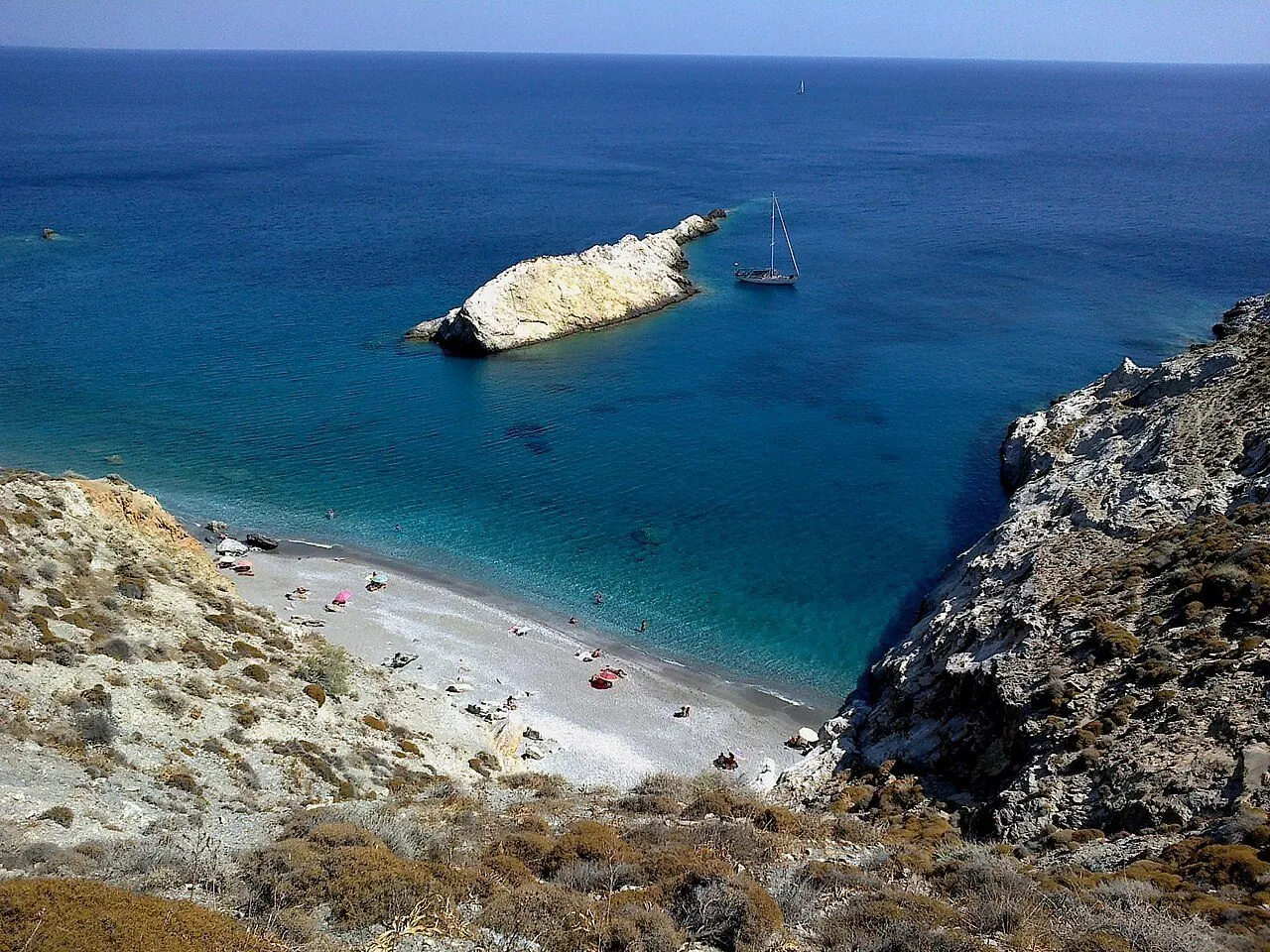
Katergo beach and its clear water below the cliffs

Beach

Take the little boat to Katergo

Ride the caique 10 minutes from the port, past the sea cave of Georgitsi, to the wildest and clearest beach on the island.

From Karavostasis

Good to know

Before you fall for Folegandros

Folegandros is a small, rocky island of about 32 km² in the south-western Cyclades, between Milos and Santorini, with 719 people (2021). The ancients called it 'iron Folegandros' for its harsh rock, and it is still all cliff and terrace, lashed by the north wind, so dry that much of its water is rain kept in cisterns. Its capital, Chora, stands about 200 m above the sea on the very edge of a precipice, around a medieval Kastro that has been lived in since it was built, with a chain of squares under the trees, which no other village in the Cyclades has. Its second village, Ano Meria, is still a farming community of scattered farmsteads. In between lie a handful of coves you reach on foot or by boat, a cave whose walls carry the names of ancient youths, and an island that, in the 20th century, Greece used as a place of exile.

Area
≈ 32 km²
Population
719 (2021)
Highest point
Agios Eleftherios, 415 m
Airport
None, fly to Milos or Santorini
  • Couples
  • Walkers
  • Quiet beaches
  • Village life
  • When to go

    Easter, when the icon visits every house and the island is green, is the best time of all. May, June and September are warm and quiet. In July and August the meltemi blows hard and the boats fill up; book beds and ferries early, and leave a spare day before your flight.

  • Getting around

    The bus links the port, Chora, Agali, Ano Meria and Livadi and meets every boat. A scooter or small car helps for Ano Meria and the dirt roads in the north. Many of the best beaches are reached only on foot or by the little boats from Karavostasis and Agali.

  • How long

    Three to five days lets you walk the Kastro and climb to the Panagia, take the boats to Katergo and Agios Nikolaos, walk Ano Meria to Livadaki and sail round the island. Pair it with Milos, Sikinos or Santorini.

  • Getting there

    No airport: take a fast boat from Piraeus, about 4 hours in summer, or fly to Milos or Santorini and hop over by sea.

    Flights & ferries

From the son of Minos to an island of exile

A village of 2500 BC on a northern cape, a Dorian city on the cliff that paid tribute to Athens, the Venetian Kastro, pirate raids and a sack in 1715, emigrants who built the new Chora and, in the 1930s, political exiles.

Walk through the story

Last updated