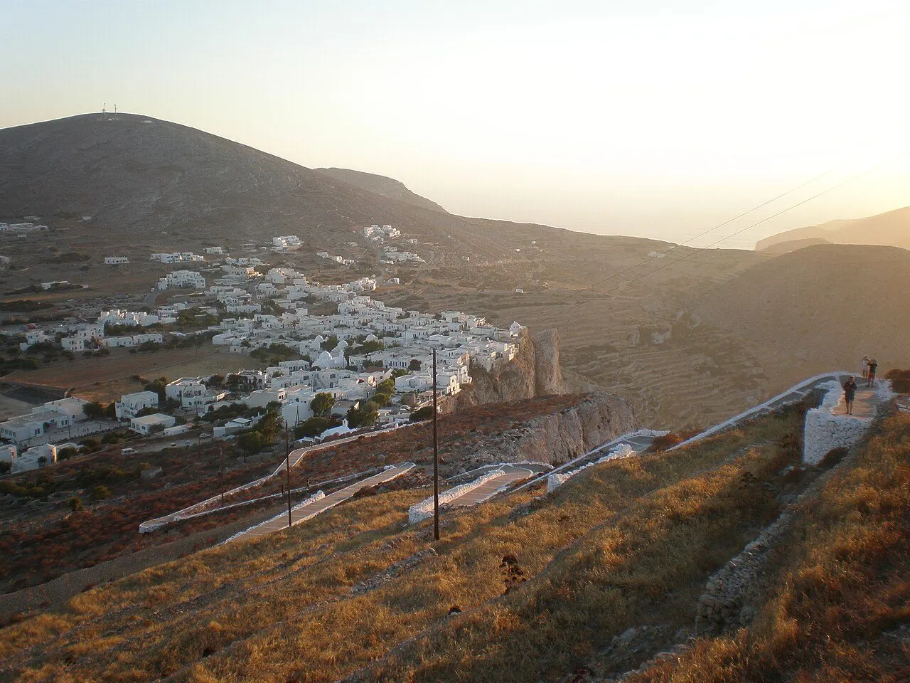
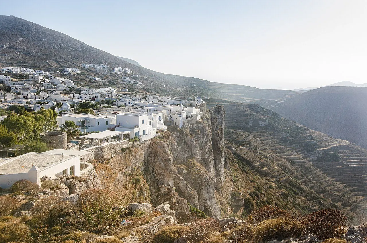
Chora of Folegandros seen from the church of the Panagia

Folegandros · Towns & villages

Towns & villages of Folegandros

Harbour towns, mountain hamlets and the places where island life still follows its own rhythm.

View of Chora, Chora & the cliffs, Folegandros
01
Chora & the cliffs

Chora

A village of squares on the lip of a 200 m cliff, around a medieval Kastro lived in without a break since it was built

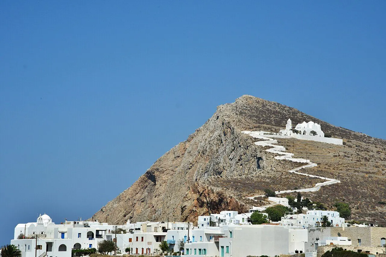
Chora, the island's capital, stands about 200 m above the sea on the edge of a sheer cliff on the north-east coast, on the site of the ancient city of Pholegandros. Its oldest part is the Kastro, a walled medieval settlement built against pirates, whose north side runs along the very lip of the precipice and which has been lived in ever since. Around it the newer village spreads in whitewashed houses, cobbled lanes and, unusually for the Cyclades, one square opening into the next: Pounta, Dounavi and Piatsa, shaded by trees and full of tables at night. No cars are allowed inside. Above it, on a rock, stands the white church of the Panagia, reached by a zig-zag path.

  • The lanes of the Kastro, Kato Rua and Mesa Rua
  • The view from the cliff at Pounta square
  • The zig-zag path up to the Panagia
  • Rakomelo under the trees of the squares at night
  • The 4th-century BC city wall in the cemetery
Discover Chora
View of The Panagia, Chora & the cliffs, Folegandros
02
Chora & the cliffs

The Panagia

The white church on the rock above Chora, built from an ancient temple, at the top of a zig-zag path

The church of the Dormition of the Virgin, simply the Panagia to everyone, is the largest church on Folegandros. It stands white on a bare rock above Chora, probably on the site of an ancient temple whose stones went into its walls: ancient inscriptions, sculptures and the bases of statues can be seen in its courtyard and inside. A cobbled path zig-zags up to it from Pounta square in about 15 minutes, and the view from the top, over Chora, the cliffs and the open sea, is the most famous on the island.

  • The zig-zag path from Pounta square
  • Ancient inscriptions and statue bases in the courtyard
  • Sunset over Chora and the cliffs
  • The feast of the Dormition on 15 August
  • The Easter procession of the icon
Discover The Panagia
View of Ano Meria, Ano Meria & the north, Folegandros
03
Ano Meria & the north

Ano Meria

A farming village 3 km long, made of farmsteads, stone walls and lemon trees in round towers against the wind

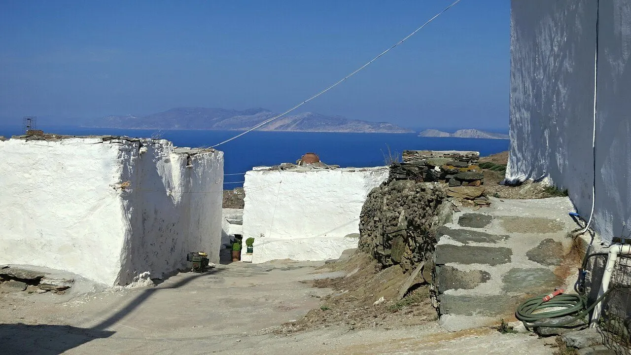
Ano Meria, 'the upper side', is the island's second village and its most traditional, strung for about 3 km along the windswept ridge of the north-west at around 265 m, 5–6 km from Chora. It is not a village of streets but of themonies: farmsteads standing apart among dry-stone walls, each a small self-sufficient farm with its house, oven, cistern, threshing floor and animal pen, where families still sow barley for their animals and grow vegetables on every scrap of soil. Mules still carry loads along the walls, and the old windmills stand on the ridge.

  • The Ecomuseum in an old farmstead
  • Lemon trees inside round stone walls
  • The old windmills on the ridge
  • Easter Monday, when the icon visits every house
  • Paths down to Livadaki, Ampeli and Agios Georgios
Discover Ano Meria
View of Karavostasis, Karavostasis & the south-east, Folegandros
04
Karavostasis & the south-east

Karavostasis

The 'ship stop', a harbour that had no ferry pier until 1984, with three family beaches round it

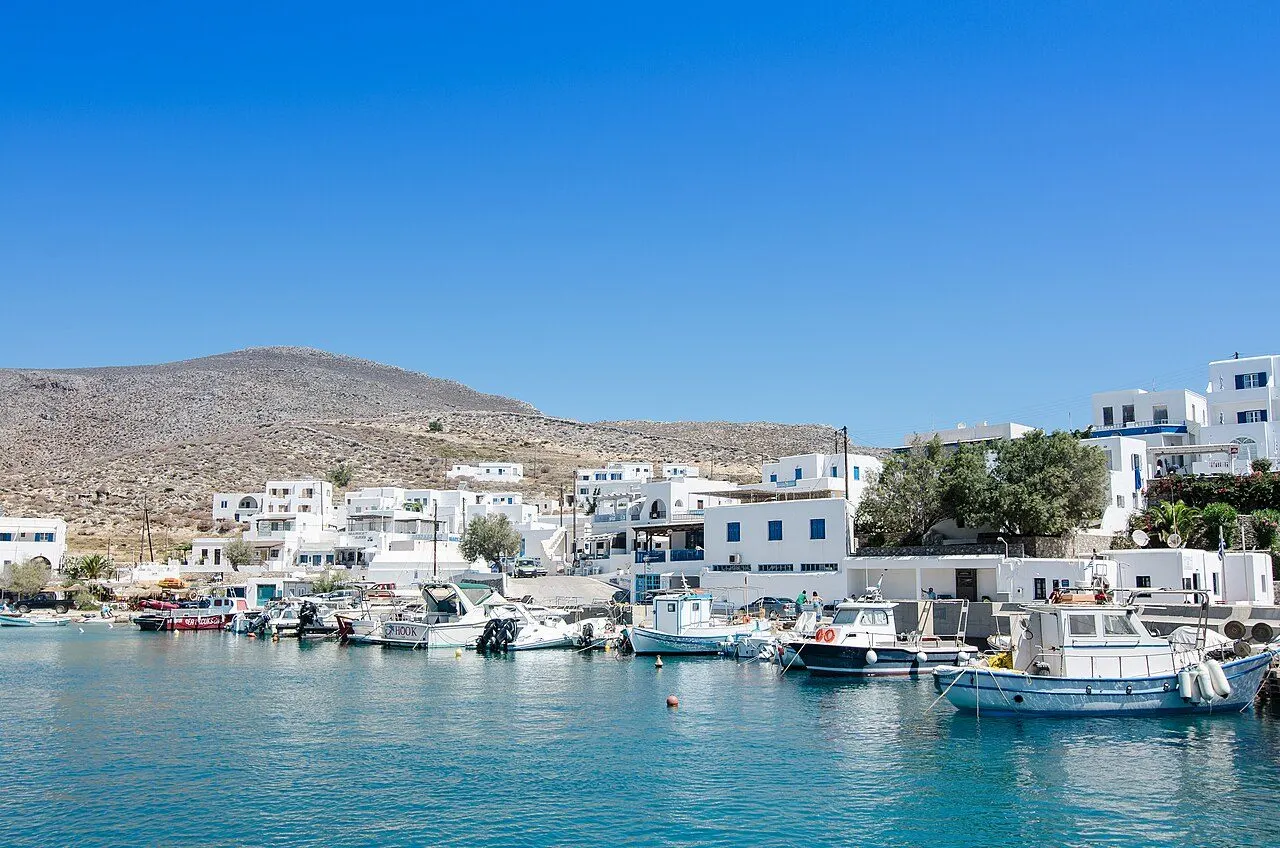
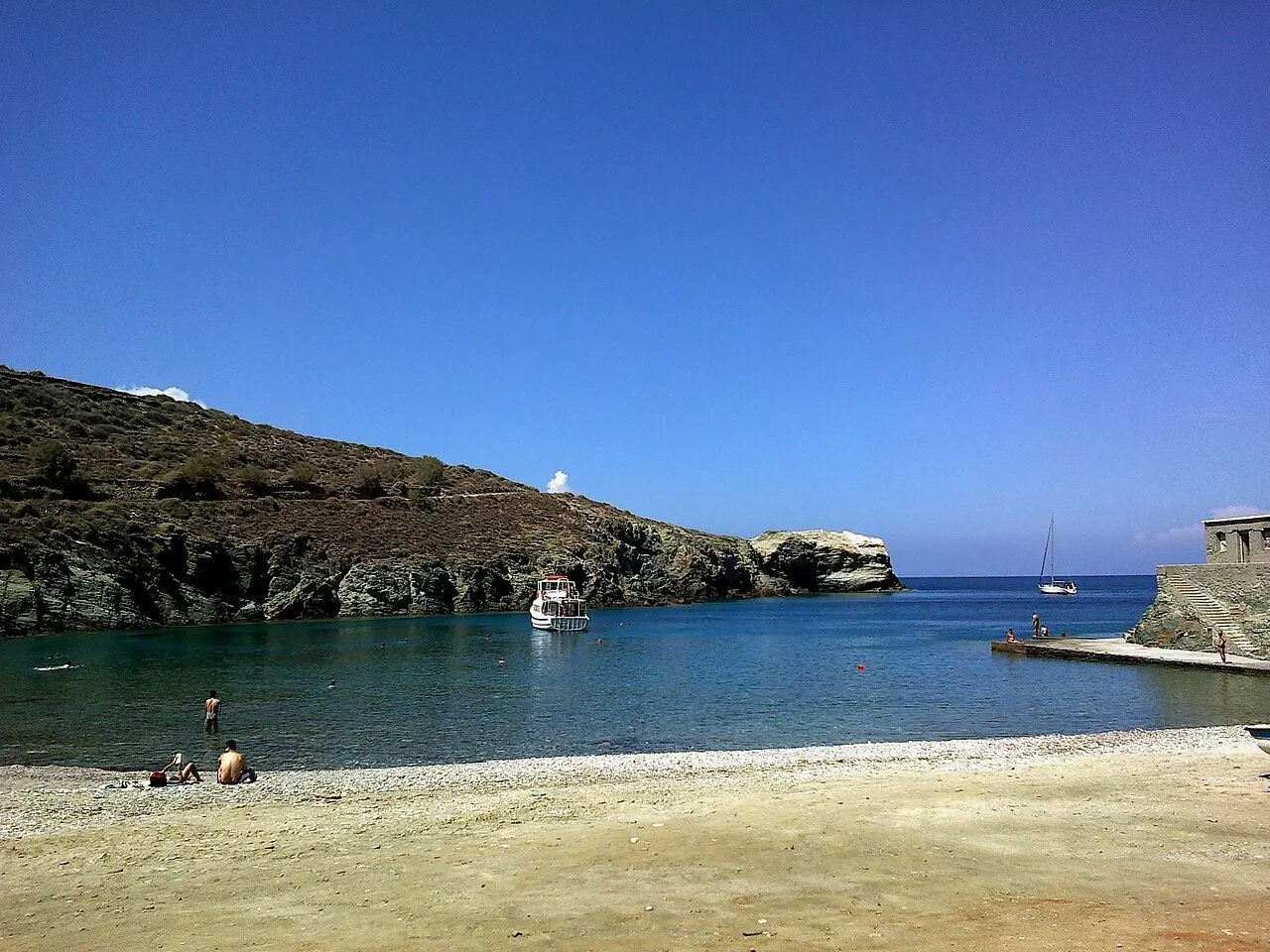
Karavostasis, 'where the ships stop', is the island's port, a small, quiet settlement of white houses on the south-east coast, 3.5 km below Chora and protected as a traditional settlement since 1978. Its own beach, Chochlidia, lined with tamarisks, runs round the harbour; Vardia lies just to the east and little Latinaki to the south, and the coast road goes on past more coves to Livadi. In summer the caiques leave from the quay every day for the beaches you cannot reach by road.

  • Chochlidia beach round the harbour
  • Sandy Vardia next door
  • The chapel of Agios Artemios on the quay
  • Boats to Katergo and round the island
  • The old boat sheds, the syrmata
Discover Karavostasis
View of Agali & Agios Nikolaos, Agali & the south coast, Folegandros
05
Agali & the south coast

Agali & Agios Nikolaos

'The embrace', a deep bay in the middle of the island, with paths and little boats to coves under the cliffs

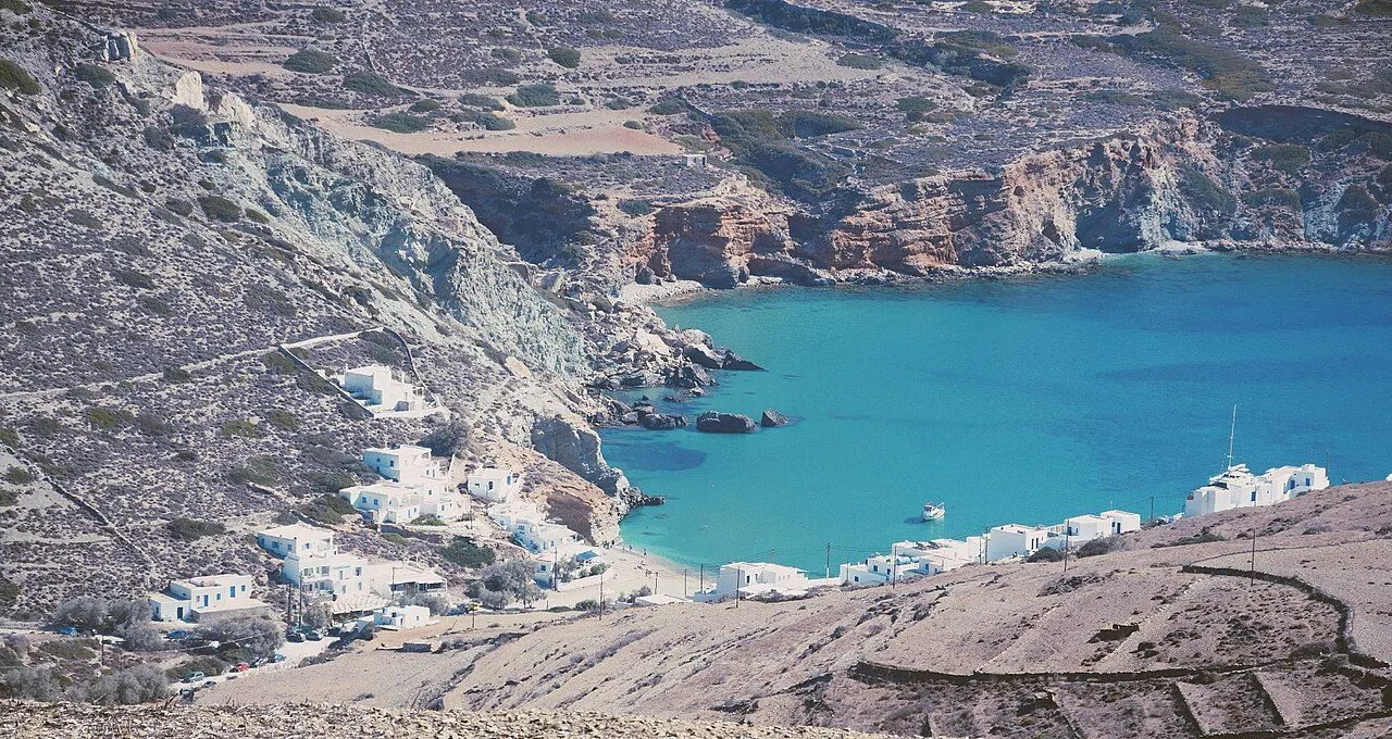
Agali, 'the embrace', lies at the head of the bay of Vathy, the largest on the island, right in its middle between Chora and Ano Meria, 4 km from Chora by road or bus. A handful of rooms, tavernas and a mini market sit above a beach of sand and clear water that is ideal for families. From here paths lead south-east to Fira, about 15 minutes, and south-west to Galyfos, 10 minutes, and on to Agios Nikolaos with its chapel, pines and two tavernas on the sand; little boats run to Agios Nikolaos in 5 minutes and to Livadaki in 15–20.

  • The family beach of Agali
  • The cliff path to Galyfos and Agios Nikolaos
  • Lunch at a taverna on the sand at Agios Nikolaos
  • The boat to Livadaki
  • The feast of Agia Marina in July
Discover Agali & Agios Nikolaos
View of Chrysospilia, Chora & the cliffs, Folegandros
06
Chora & the cliffs

Chrysospilia

The 'golden cave' in the north cliffs, its walls covered in the names of ancient youths

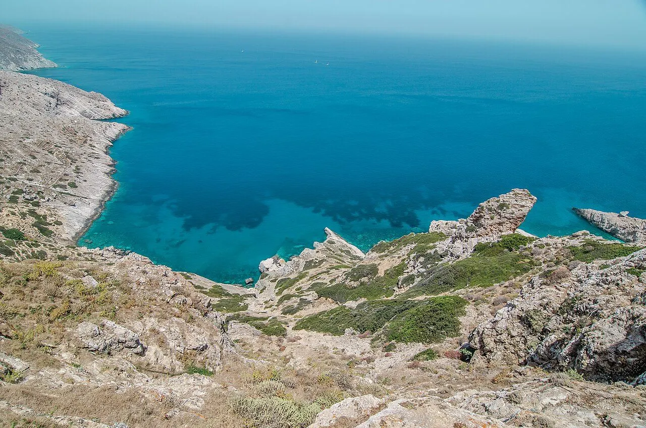
Chrysospilia, 'the golden cave', opens in the cliffs of the north-east coast, about 30 m above the sea. It runs some 300 m into the rock in two great chambers joined by a narrow passage: in the first, Roman cisterns and a mass of broken pottery have been found, and the second is hung with stalactites. What makes it unique is writing: hundreds of ancient names cover its walls and roof, most of them of the 4th century BC, left by young men who came here from all over the Greek world.

  • Some 400 ancient names on the walls
  • A rite of passage of the 4th century BC
  • The ancient steps, the 'Hellenic stairs'
  • Seen from the round-the-island boat
Discover Chrysospilia
View of Livadi & Petousis, Karavostasis & the south-east, Folegandros
07
Karavostasis & the south-east

Livadi & Petousis

Scattered farmsteads above a long sandy bay, and the path to the island's wildest beach

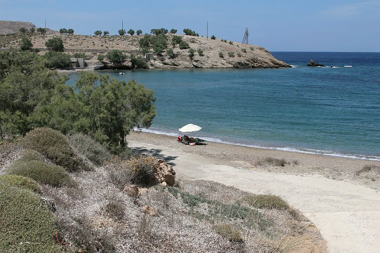
South of the port the coast road runs past the coves of Latinaki, Vitsentzou and Pountaki to Livadi, 'the meadow', a thinly settled farming area of scattered farmsteads that runs from the sea up into the hills, with the island's campsite and a long sandy beach sheltered from almost every wind. Inland, Petousis is one of the oldest and smallest farming hamlets on the island, with its farmsteads, stone pens and animals, linked to Livadi by a dirt path of 3 km. From Livadi a path of about 30 minutes leads on to Katergo.

  • The long sandy beach of Livadi
  • The path to Katergo
  • The farmsteads of Petousis
  • The islet of Agios Ioannis across the bay
Discover Livadi & Petousis
View of Aspropounta & Livadaki, Ano Meria & the north, Folegandros
08
Ano Meria & the north

Aspropounta & Livadaki

A lighthouse of 1919 on the white cape, and a wild beach of sand and rocks reached on foot or by boat

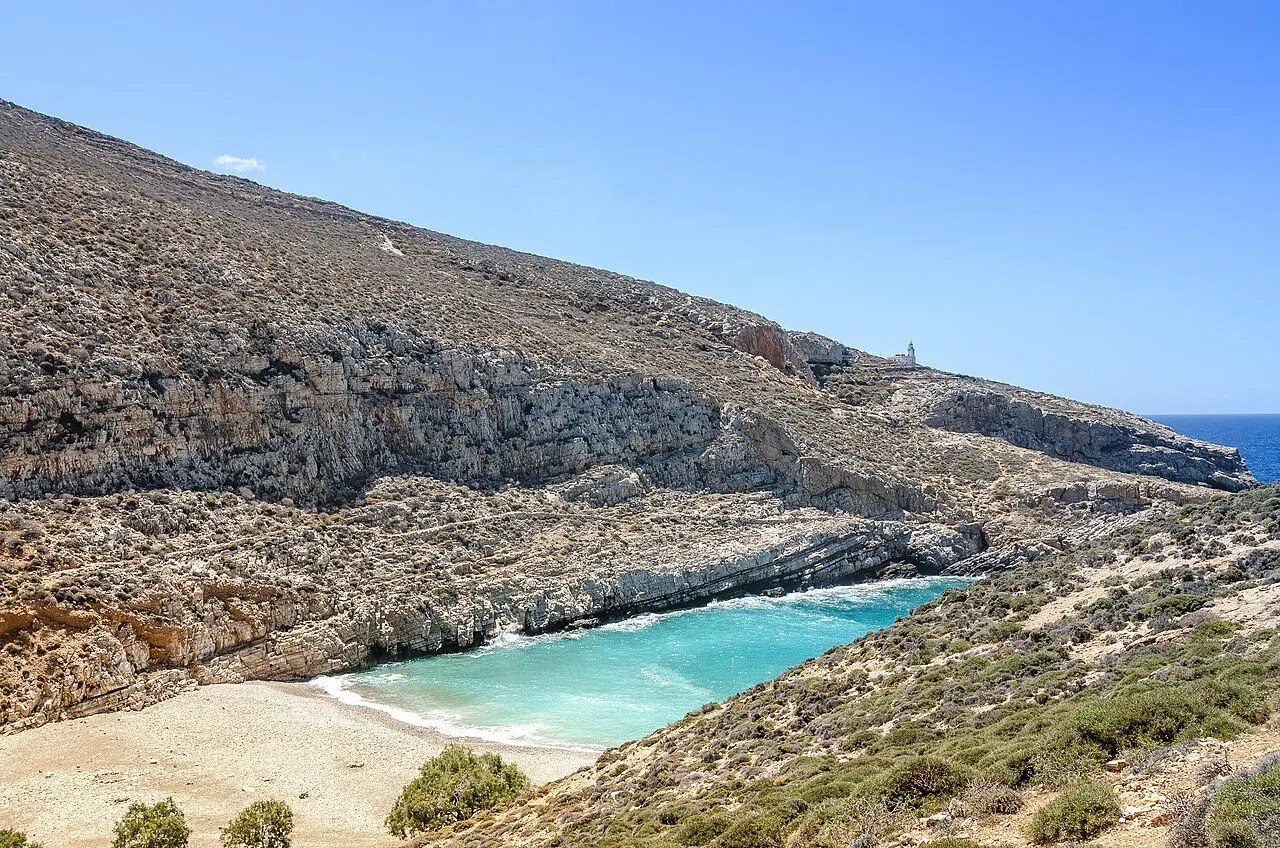
Below Ano Meria, on the south-west coast, the cape of Aspropounta, 'the white point', carries one of the largest lighthouses in the Aegean, and just beside it lies Livadaki, one of the island's most beautiful wild beaches: sand mixed with wide flat rocks and cold, clear turquoise water. Three paths come down from Ano Meria in 45 minutes to an hour; or take the boat from Agali, which runs about every hour in summer and takes 15–20 minutes.

  • The lighthouse of 1919
  • The wild beach of Livadaki
  • The paths down from Ano Meria
  • The boat from Agali
Discover Aspropounta & Livadaki
View of Agios Georgios & Kastelos, Ano Meria & the north, Folegandros
09
Ano Meria & the north

Agios Georgios & Kastelos

The end of the island: sandy coves below a chapel, and a village of 2500 BC on a rocky cape

At the far northern tip of Folegandros, about 10 km from Chora, the dirt road from Ano Meria comes down to the chapel of Agios Georgios and its mostly sandy beach, with a little shade under the trees, and, 500 m before it, the sand-and-pebble cove of Lygaria. Just beyond, on the small rocky peninsula of Kastelos, excavations have uncovered the ruins of the island's oldest known settlement, a small village of the Early Cycladic II period, around the middle of the 3rd millennium BC.

  • The beach below the chapel of Agios Georgios
  • The cove of Lygaria
  • The Early Cycladic settlement on Kastelos
  • The paths from Ano Meria
Discover Agios Georgios & Kastelos

Regions

Where to base yourself in Folegandros

01

Chora & the cliffs

The capital on the edge of its cliff, with the medieval Kastro, the chain of squares, the Panagia on its rock and, in the north cliffs, the cave of Chrysospilia.

02

Karavostasis & the south-east

The little port and its family beaches, the farming country of Livadi and Petousis, and Katergo, the wildest beach on the island.

03

Agali & the south coast

The deep bay in the middle of the island, with paths and little boats to the coves of Galyfos, Fira and Agios Nikolaos.

04

Ano Meria & the north

The farming village of farmsteads and stone walls on the ridge, the lighthouse of Aspropounta and Livadaki, and the coves of Agios Georgios at the end of the island.

Find a place to stay

Browse hotels and guesthouses across Folegandros, filtered by region and price.

Browse hotels

Last updated