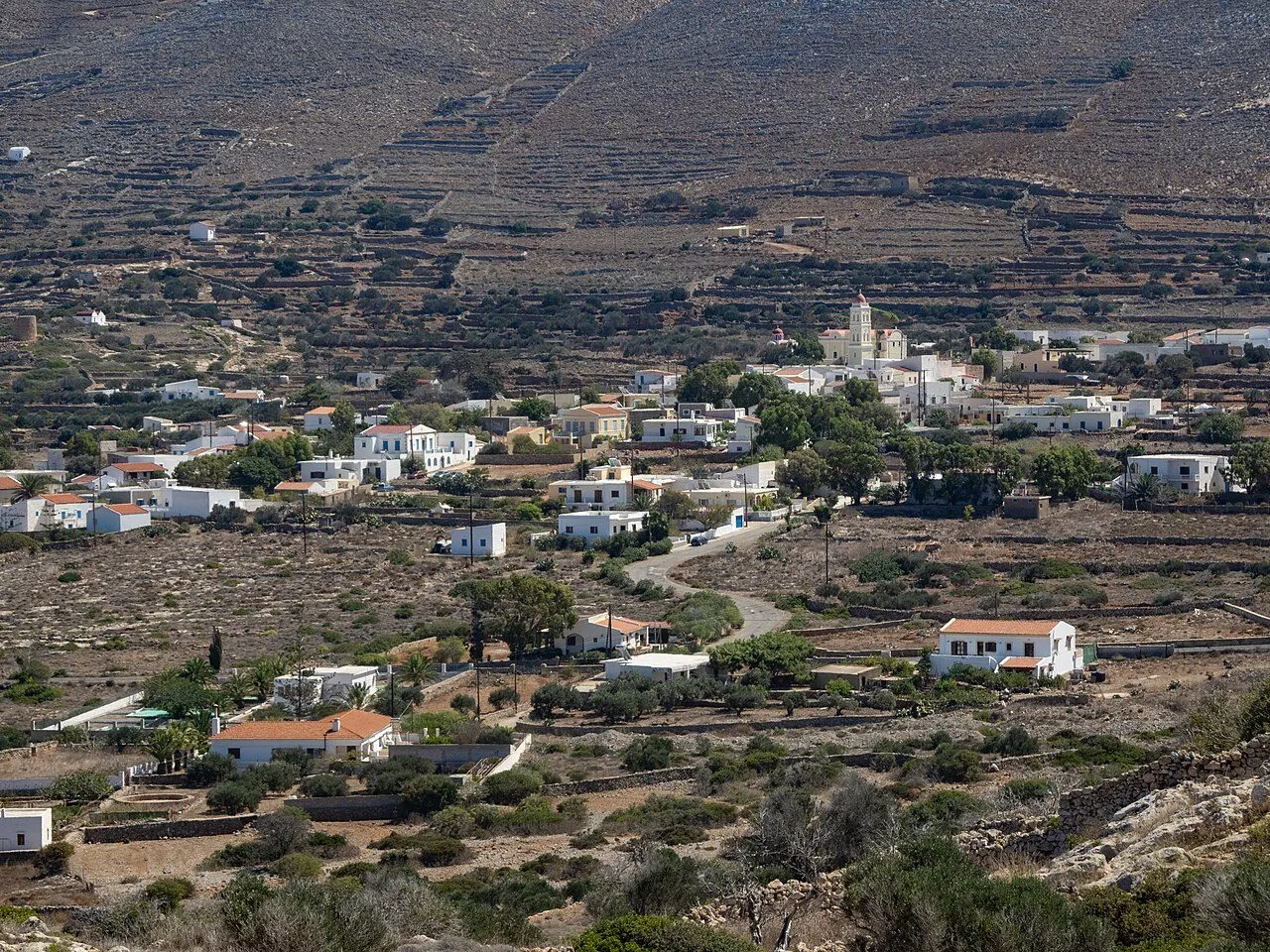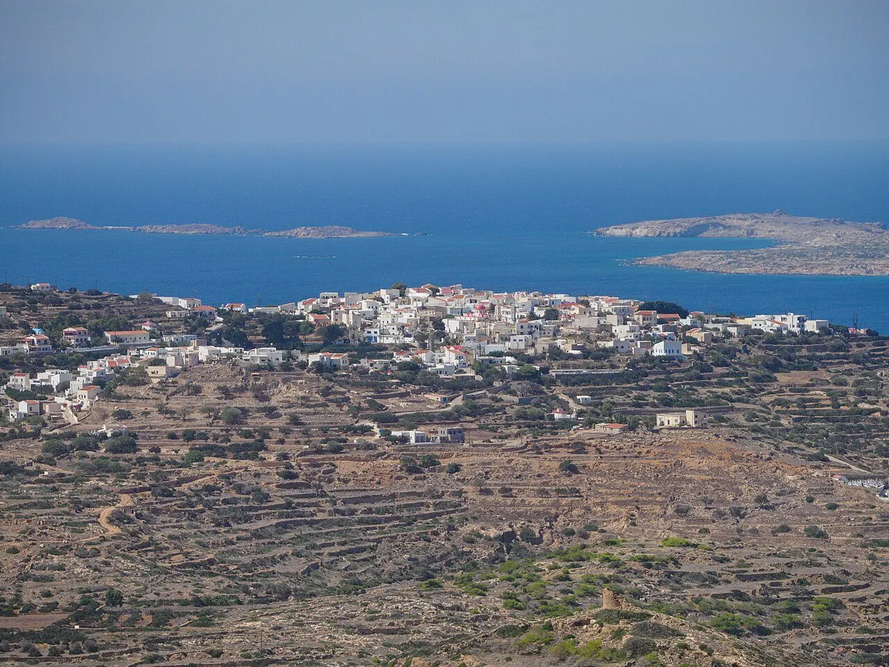
Agia Marina, the largest village of Kasos, seen from Poli

Kasos · Towns & villages

Towns & villages of Kasos

Harbour towns, mountain hamlets and the places where island life still follows its own rhythm.

View of Fry, Fry & Emporeios, Kasos
01
Fry & Emporeios

Fry

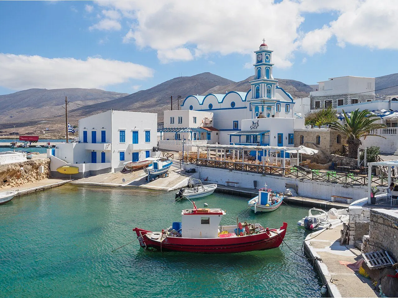
A tiny capital of white and blue round a little round harbour, where the water is lit from below at night

Fry is the capital and port of Kasos, a small white town on the north coast with fewer than four hundred people. Its heart is Bouka, the old harbour, a round basin of still water entered through a narrow mouth, ringed by fishing boats, café tables and the white-and-blue church of Agios Spyridon. Around it are the lanes, the square of the Heroes' Monument, the Archaeological Collection and the windmill on the shore, and everything is a few minutes' walk away.

  • Bouka, the old harbour, lit up at night
  • The church of Agios Spyridon above the boats
  • The Archaeological Collection
  • The Heroes' Monument of 1824
  • Sunset over Armathia from Agia Kyriaki
Discover Fry
View of Panagia, The inland villages, Kasos
02
The inland villages

Panagia

The village of the captains and shipwrights, with the Six Churches and the biggest feast of the island

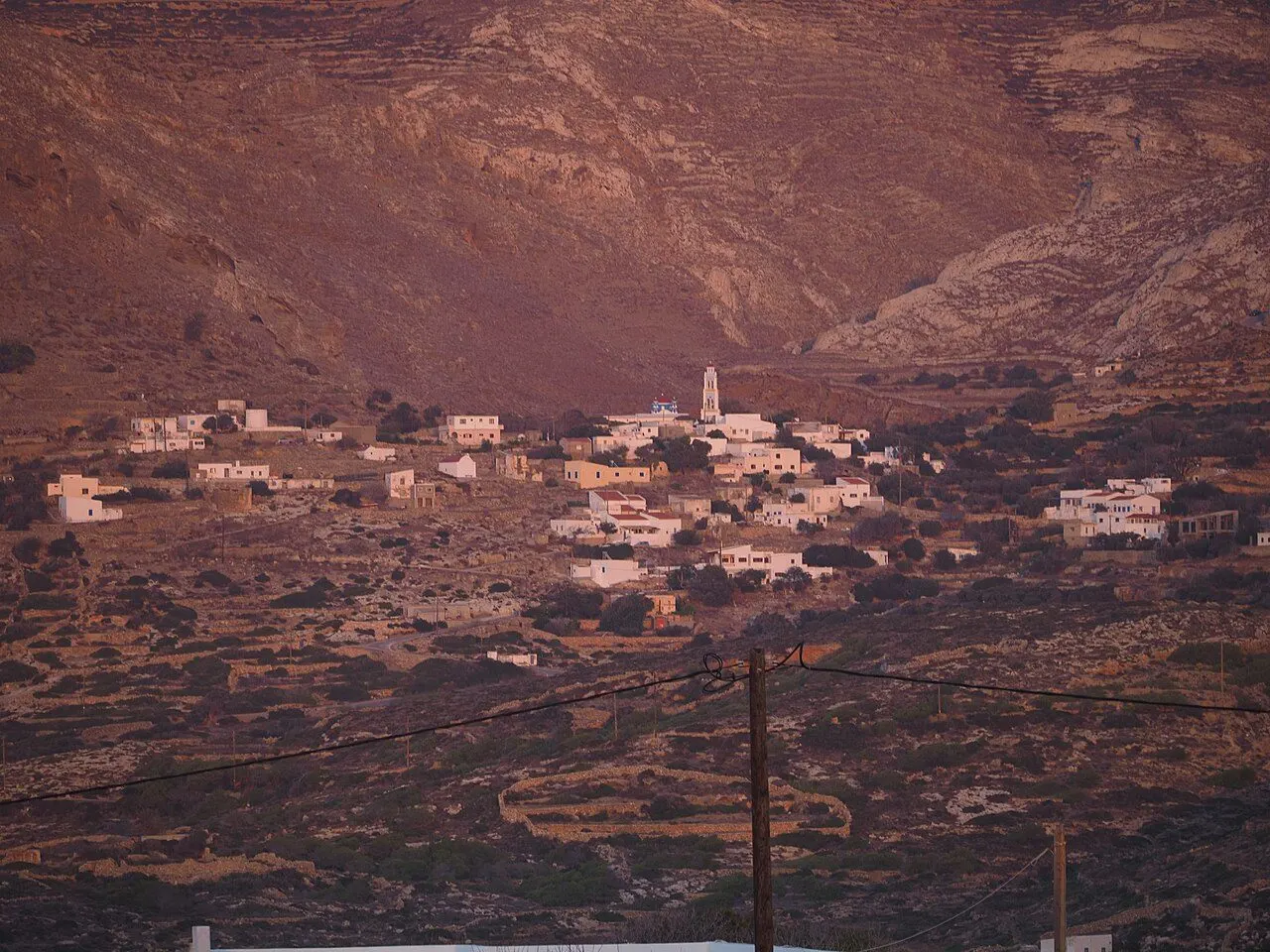
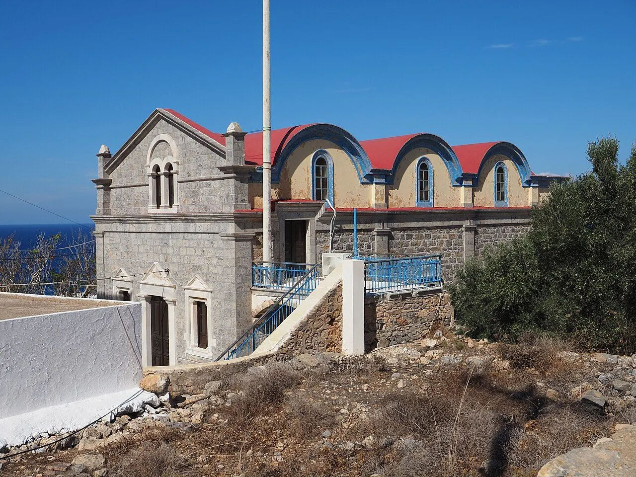
Panagia is a small village just above Fry, once the home of the island's sea captains and shipwrights. Only a few dozen people live here now, among the big old houses of the seafaring families. It has the island's great church of the Virgin, the Six Churches, a cluster of vaulted chapels with red domes built together, and the biggest festival of Kasos on 15 August.

  • The Six Churches
  • The church of the Panagia and its ancient sarcophagus
  • The feast of 15 August
  • The captains' houses
Discover Panagia
View of Agia Marina, The inland villages, Kasos
03
The inland villages

Agia Marina

The largest village, built inland out of sight of the pirates, with a feast on 17 July

Agia Marina is the biggest village of Kasos, with some 440 people, on the slopes a little inland from Fry. Like Arvanitochori, it was built away from the shore in the centuries of piracy. Its church of Saint Marina holds one of the great feasts of the island on 17 July, and the path to the ancient cave of Ellinokamara starts on its edge.

  • The feast of Agia Marina, 17 July
  • The path to Ellinokamara
  • The old olive mill
  • Tavernas with a view
Discover Agia Marina
View of Ellinokamara & Stylokamara, The inland villages, Kasos
04
The inland villages

Ellinokamara & Stylokamara

An ancient cave sanctuary walled in by the Hellenistic Kasians, and a hidden cave of stone columns

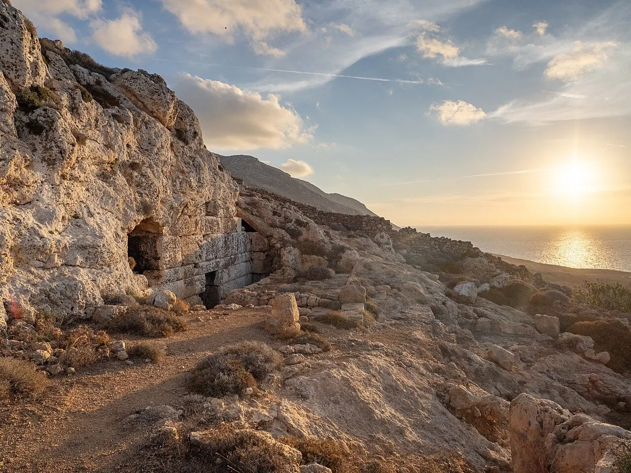
Ellinokamara, 'the Greek vault', is a cave in the cliffs beyond Agia Marina and one of the oldest places of worship in the Dodecanese, used from Mycenaean to Hellenistic times. Its mouth is closed by a wall of large cut blocks built in the Hellenistic period. Further on, about 2 km south-west of Agia Marina, the cave of Sellai, or Stylokamara, hides behind a narrow entrance and runs some 30 m into the rock, with stalactites and stone columns.

  • The Hellenistic wall across the cave mouth
  • The cobbled path from Agia Marina
  • The stalactites of Stylokamara
  • Sunset over the sea from the path
Discover Ellinokamara & Stylokamara
View of Arvanitochori, The inland villages, Kasos
05
The inland villages

Arvanitochori

A quiet farming village among terraces, with a folklore museum and a traditional olive mill

Arvanitochori lies among stone-walled terraces in the middle of the island, between Agia Marina and Poli. It was built inland, like Agia Marina, for fear of the pirates. Today it is a quiet village of about 170 people, with the Folklore Museum of Kasos, a traditional olive mill and the church of Agios Dimitrios.

  • The Folklore Museum
  • The traditional olive mill
  • The church of Agios Dimitrios
  • The house of Marigo Mavrikaki
Discover Arvanitochori
View of Poli, The inland villages, Kasos
06
The inland villages

Poli

The oldest village, on the acropolis of ancient Kasos, with the whole north coast at its feet

Poli, 'the city', stands at about 200 m on a hill above the north coast and is the oldest settlement of Kasos. This was the ancient capital: on the acropolis, the Kastro, are traces from Mycenaean times and the walls of the ancient city, from which a paved road led down to the port at Emporeios. Today about 80 people live here, and the view takes in Fry, Agia Marina, the sea and the islets.

  • The Kastro, the ancient acropolis
  • The view over Fry and the islets
  • The church of Agia Triada
  • The road to the monastery of Agios Mamas
Discover Poli
View of Emporeios, Fry & Emporeios, Kasos
07
Fry & Emporeios

Emporeios

The sandy bay next to Fry that was the port of ancient Kasos, with early Christian ruins behind the beach

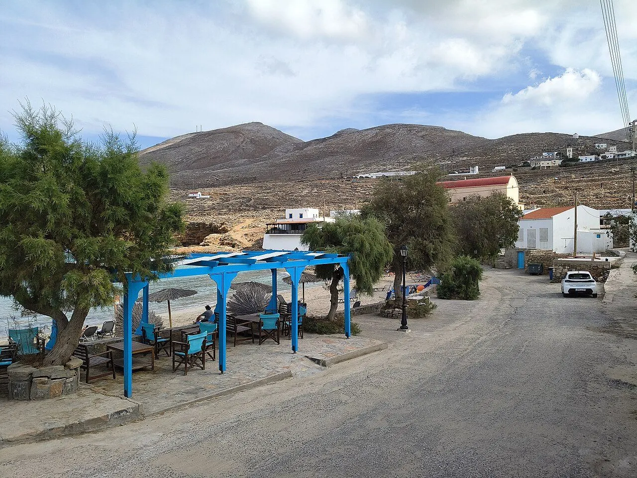
Emporeios, 'the trading place', is the bay just east of Fry and the island's favourite beach: fine sand, shallow water, tamarisks and a couple of tavernas along the road. In antiquity this was the port of the city on the hill of Poli, joined to it by a paved road. In the fields behind the beach lie the remains of two early Christian basilicas and a baptistery.

  • Fine sand and shallow water
  • Fish under the tamarisks
  • The ruins of two early Christian basilicas
  • The old road up to Poli
Discover Emporeios
View of Agios Georgios Chadion & Helatros, The wild south-west, Kasos
08
The wild south-west

Agios Georgios Chadion & Helatros

A monastery of 1690 in the empty south-west, on the road to the bay where the Minoans lived

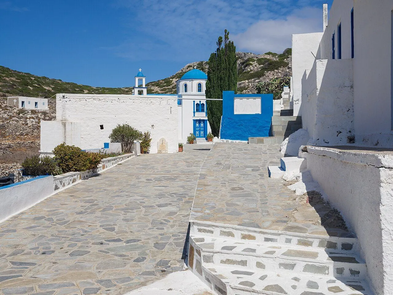
The road south-west from the villages crosses the bare Argos valley to the monastery of Agios Georgios at Chadies, founded in 1690, a white courtyard and blue-domed church alone in the hills. It goes on down to Helatros, a deep bay of white pebbles and turquoise water where the Minoans had a settlement until about 1450 BC.

  • The monastery of Agios Georgios, 1690
  • The feasts of 23 April and 3 November
  • The bay of Helatros
  • Minoan Kasos
Discover Agios Georgios Chadion & Helatros
View of Agios Mamas, The wild south-west, Kasos
09
The wild south-west

Agios Mamas

A white monastery with a red dome on a hill above the Libyan Sea

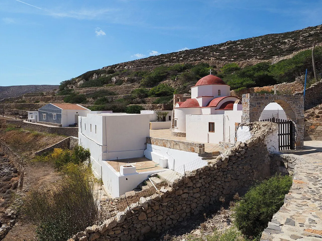
The monastery of Agios Mamas stands alone on a hill near Poli, looking south over the Libyan Sea. Its courtyard and church are whitewashed against the brown hills, and on 2 September, the feast of the saint, the islanders come out for the service.

  • The view over the Libyan Sea
  • The feast of 2 September
  • The drive across the island
Discover Agios Mamas
View of Armathia & the Kasonisia, Armathia & the Kasonisia, Kasos
10
Armathia & the Kasonisia

Armathia & the Kasonisia

Uninhabited islets off Fry, with the white sand that Kasiots call their Caribbean

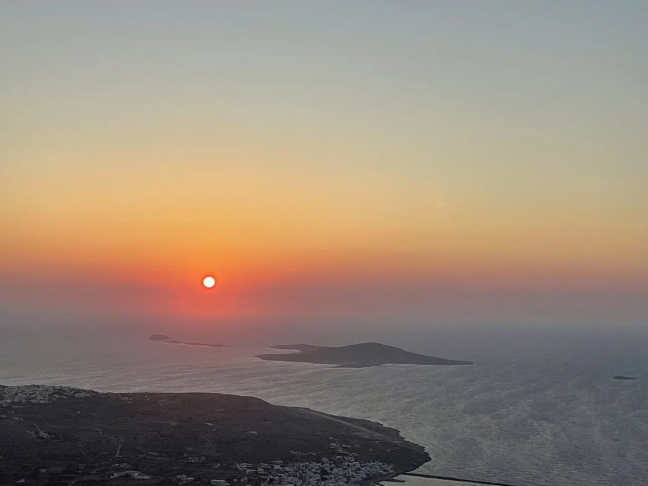
Off the north-west coast of Kasos lie the Kasonisia, a scatter of uninhabited islets. The largest are Armathia and Makronisi. Armathia has Marmara, a beach of white sand and pale turquoise water that the islanders call the Caribbean of Kasos, reached only by boat from Fry in summer. From the hills of Kasos, the islets are the silhouette of every sunset.

  • Marmara beach
  • The boat from Fry
  • Sunset over the islets from Agia Kyriaki
Discover Armathia & the Kasonisia

Regions

Where to base yourself in Kasos

01

Fry & Emporeios

The little capital and port round the old harbour of Bouka, the sandy bay of Emporeios, port of the ancient city, and the airport by the sea.

02

The inland villages

Panagia of the captains, Agia Marina of the great feast, Arvanitochori of the olive mill and Poli on its ancient acropolis, with the cave sanctuary of Ellinokamara, all within a few kilometres of Fry.

03

The wild south-west

Bare hills and ravines down to the Libyan Sea: the monasteries of Agios Georgios and Agios Mamas, the Minoan bay of Helatros and wild pebble coves.

04

Armathia & the Kasonisia

The uninhabited islets off the north-west coast, with the white sand of Marmara on Armathia, by boat from Fry.

Find a place to stay

Browse hotels and guesthouses across Kasos, filtered by region and price.

Browse hotels

Last updated